St. John River expected to reach flood stage in northwestern areas by next week
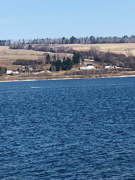
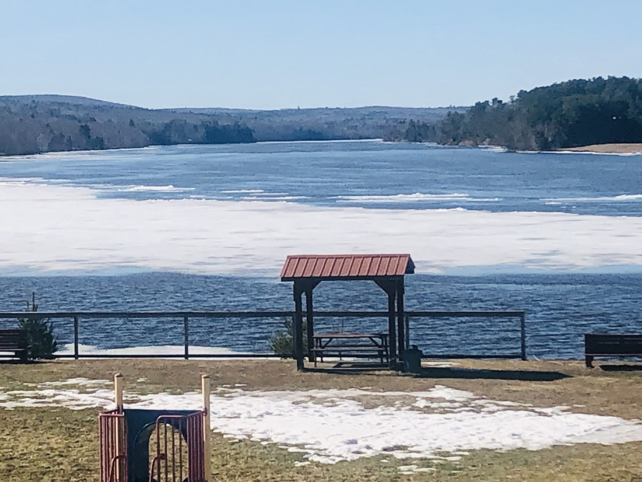
While the ice quietly disappears from the St. John River and water levels remain significantly below flood levels, River Watch officials urge riverside residents to stay vigilant.
River water levels are increasing throughout the province from continuous snow melt, Justice and Public Safety Department officials stated in its flood-update release Friday, April 14.
Officials forecast Saint-Hilaire in northern New Brunswick to reach flood stage by Tuesday, April 18. Neighbouring communities of Clair, St. Francois, Clair, Fort Kent and Fort Kent may reach the warning stage of a half-metre below flood stage by Wednesday, April 19.
Officials remind residents living or working in areas prone to localized flooding to be aware and take the proper precautions to safeguard their homes and possessions.
River Watch officials continue to watch ice movements in the upper Saint John River basin, which still have the potential to cause ice jams which can cause sudden increases of water levels in affected areas.
Woodstock, Nashwaak, Jemseg, Oromocto and Gagetown remain at the advisory stage, meaning water levels sit less than two metres below flood stage.
While a five-day forecast for Woodstock is unavailable because the potential of ice jams still exists, Flood Watch officials expect the other communities to remain at the advisory level.
Officials predict Jemseg to reach “watch” level by Wednesday, April 19, meaning water levels to be within one metre of flood levels.
The St. John River from north of Woodstock to at least south of Meductic is primarily open water with remaining ice quietly disappearing.
Flood level five-day forecasts are available online for the Upper Sant John River https://www2.gnb.ca/…/upper_st_john_river_five-day…
and the lower part of the Saint John River. https://www2.gnb.ca/…/st_john_river_five-dayforecast.html
